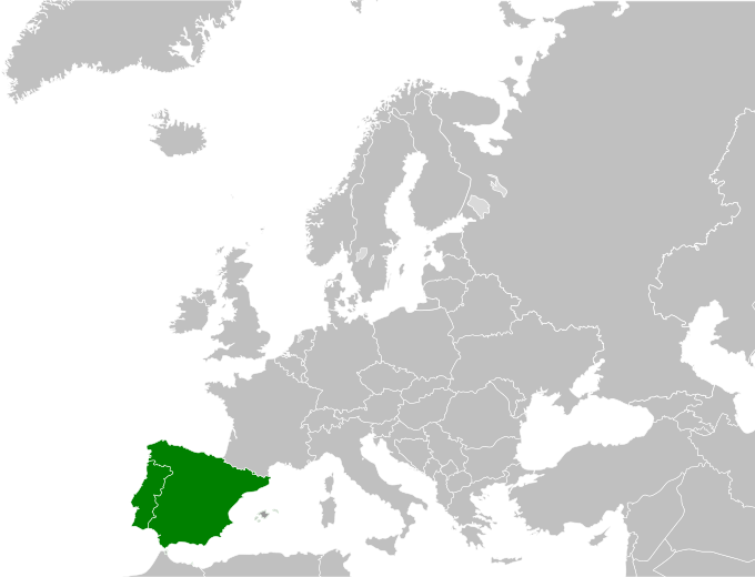
Dataja:Iberian map europe.svg

Größe der PNG-Vorschau dieser SVG-Datei: 680 × 520 pikselow. Druge rozeznaśa: 314 × 240 pikselow | 628 × 480 pikselow | 1.004 × 768 pikselow | 1.280 × 979 pikselow | 2.560 × 1.958 pikselow.
Originalna dataja (dataja SVG, nominalnje: 680 × 520 piksele, wjelikosć dataje: 522 kB)
Stawizny dataje
Tłoc na datum/cas aby tencasna wersija se lodowała.
| datum/cas | Pśeglědowy wobraz | rozměry | Wužywaŕ | Komentar | |
|---|---|---|---|---|---|
| něntejšny | 16. junija 2008, 19:34 |  | 680x520 (522 kB) | BBird | {{Information |Description=* Description: Blank map of Europe * Source: SVG trace of PNG of the same name. Original PNG based on CIA map [https://www.cia.gov/cia/publications/factbook/index.html The World Factbook] * Author |
Datajowe wužywanje
Slědujucy bok wótkazujo na toś tu dataju:
Globalne wužywanje datajow
Slědujuce druge wikije wužywaju toś ten wobraz:
- Wužywanje na ang.wikipedia.org
- Wužywanje na arz.wikipedia.org
- Wužywanje na ast.wiktionary.org
- Wužywanje na az.wikipedia.org
- Wužywanje na ba.wikipedia.org
- Wužywanje na bn.wikipedia.org
- Wužywanje na bs.wikipedia.org
- Wužywanje na cy.wikipedia.org
- Wužywanje na da.wikipedia.org
- Wužywanje na en.wikipedia.org
- Wužywanje na en.wiktionary.org
- Wužywanje na es.wikipedia.org
- Wužywanje na eu.wikipedia.org
- Wužywanje na fa.wikipedia.org
- Wužywanje na fi.wikipedia.org
- Wužywanje na fr.wikipedia.org
- Wužywanje na fr.wiktionary.org
- Wužywanje na gv.wikipedia.org
- Wužywanje na he.wikibooks.org
- Wužywanje na he.wikivoyage.org
- Wužywanje na hsb.wikipedia.org
- Wužywanje na id.wikipedia.org
- Wužywanje na io.wiktionary.org
- Wužywanje na ko.wikipedia.org
- Wužywanje na mrj.wikipedia.org
- Wužywanje na mr.wikipedia.org
- Wužywanje na mwl.wikipedia.org
- Wužywanje na mzn.wikipedia.org
- Wužywanje na nds-nl.wikipedia.org
- Wužywanje na nl.wikipedia.org
- Wužywanje na nn.wikipedia.org
- Wužywanje na no.wikipedia.org
- Wužywanje na pa.wikipedia.org
- Wužywanje na pl.wikipedia.org
- Wužywanje na pt.wikipedia.org
- Wužywanje na pt.wikinews.org
- Wužywanje na sv.wikipedia.org
- Wužywanje na ta.wiktionary.org
- Wužywanje na tl.wikipedia.org
- Wužywanje na tt.wikipedia.org
- Wužywanje na vls.wikipedia.org
- Wužywanje na www.wikidata.org
- Wužywanje na yi.wikipedia.org
Dalšne globalne wužywanje toś teje dataje pokazaś.
