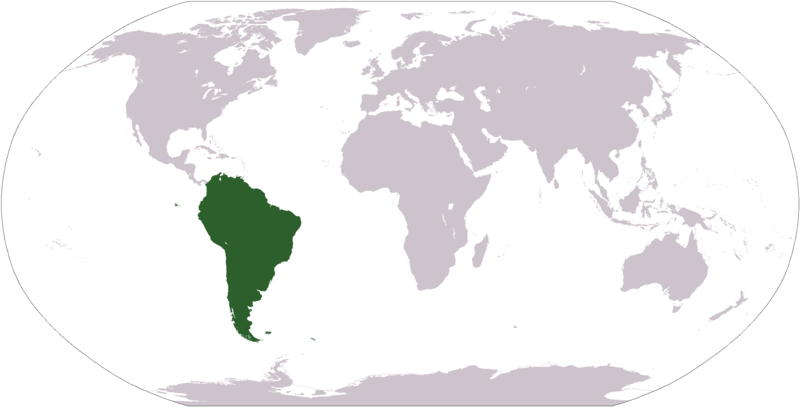
Dataja:LocationSouthAmerica.png
Napohlad

Wjelikosć toś togo pśeglěda: 800 × 407 pikselow. Druge rozeznaśa: 320 × 163 pikselow | 640 × 326 pikselow | 1.024 × 521 pikselow | 1.280 × 651 pikselow | 2.759 × 1.404 pikselow.
Originalna dataja (2.759 × 1.404 pikselow, wjelikosć dataje: 101 kB, MIME-Typ: image/png)
Stawizny dataje
Tłoc na datum/cas aby tencasna wersija se lodowała.
| datum/cas | Pśeglědowy wobraz | rozměry | Wužywaŕ | Komentar | |
|---|---|---|---|---|---|
| něntejšny | 19. januara 2008, 13:39 |  | 2.759x1.404 (101 kB) | F l a n k e r | Transparency |
| 16. awgusta 2007, 19:03 |  | 2.759x1.404 (46 kB) | Jeff G. | Updated version without Panama per Commons:Administrators' noticeboard/Attention#Move_image_request_Image:LocationSouthAmerica2.png_to_Image:LocationSouthAmerica.png_.28user_account_too_new.29 | |
| 10. septembra 2006, 05:50 |  | 2.759x1.404 (55 kB) | Cogito ergo sumo~commonswiki | World map: South America (location) | |
| 22. januara 2006, 05:48 |  | 2.759x1.404 (55 kB) | E Pluribus Anthony~commonswiki | World map: South America (location) | |
| 15. januara 2006, 23:34 |  | 1.381x703 (48 kB) | Huhsunqu | ||
| 29. apryla 2005, 13:33 |  | 1.381x703 (16 kB) | Ghalas | Half the size {{PD-USGov-CIA-WF}} | |
| 28. apryla 2005, 09:32 |  | 2.759x1.404 (39 kB) | Ghalas | Extracted from CIA World Factbook PDF world map, then rasterized and colored. {{PD}} | |
| 29. decembra 2004, 06:33 |  | 250x116 (11 kB) | Maximaximax | Location of South America (from en:) {{GFDL}} |
Datajowe wužywanje
Slědujucych 32 bokow wótkazujo na toś tu dataju:
- Afrika
- Amerika
- Antarktika
- Argentinska
- Awstralija
- Azija
- Boliwiska
- Brazilska
- Chilska
- Ekuador
- Europa
- Falklandy
- Francojska Guyana
- Guyana
- Głowny bok
- Kolumbiska
- Kontinent
- Paraguay
- Peru
- Pódpołdnjowa Amerika
- Pódpołdnjowa Georgiska a kupy Pódpołdnjowy Sandwich
- Pódpołnocna Amerika
- Surinam
- Uruguay
- Venezuela
- Wužywaŕ:Maus-78
- Wužywaŕ:Tlustulimu/Głowny bok/naraźenje
- Pśedłoga:GB-wopśimjeśa
- Pśedłoga:Infokašćik kontinent
- Pśedłoga:Infokašćik kontinent/Dokumentacija
- Pśedłoga:Kontinenty
- Pśedłoga:Nawikašćik Pódpołdnjowa Amerika
Globalne wužywanje datajow
Slědujuce druge wikije wužywaju toś ten wobraz:
- Wužywanje na ace.wikipedia.org
- Wužywanje na af.wikipedia.org
- Wužywanje na als.wikipedia.org
- Wužywanje na am.wikipedia.org
- Wužywanje na ang.wikipedia.org
- Wužywanje na ar.wikipedia.org
- Wužywanje na ar.wikinews.org
- Wužywanje na arz.wikipedia.org
- Wužywanje na as.wikipedia.org
- Wužywanje na azb.wikipedia.org
- Wužywanje na az.wikipedia.org
Dalšne globalne wužywanje toś teje dataje pokazaś.


