
Dataja:Europe location UKR.png
Wjelikosć toś togo pśeglěda: 800 × 600 pikselow. Druge rozeznaśa: 320 × 240 pikselow | 640 × 480 pikselow | 1.024 × 768 pikselow | 1.280 × 960 pikselow | 1.600 × 1.200 pikselow.
Originalna dataja (1.600 × 1.200 pikselow, wjelikosć dataje: 473 kB, MIME-Typ: image/png)

|
Dieses Bild des Typs Locator map sollte als Vektorgrafik im SVG-Format neu erstellt werden. Vektorformate haben zahlreiche Vorteile; weitere Information unter Commons:Media for cleanup. Wenn dir eine SVG-Version dieses Bildes vorliegt, so lade diese bitte hoch. Nach dem Hochladen der Datei ist diese Vorlage auf der aktuellen Bildbeschreibungsseite durch die Vorlage {{Vector version available}}, oder kürzer {{Vva}}, zu ersetzen. Es ist empfohlen die neue SVG-Datei „Europe location UKR.svg“ zu nennen – dann benötigt die Vorlage vector version available (bzw. vva) keinen Parameter.
|
| wopis | ||||
| Datum | ||||
| Žrědło | Swójske źěło | |||
| Awtor | User:David Liuzzo | |||
| Dowolenje (dalewužiwanje tuteje dataje) |
|

Stawizny dataje
Tłoc na datum/cas aby tencasna wersija se lodowała.
| datum/cas | Pśeglědowy wobraz | rozměry | Wužywaŕ | Komentar | |
|---|---|---|---|---|---|
| něntejšny | 16. decembra 2008, 22:55 | | 1.600x1.200 (473 kB) | Luinfana | Lossless compression with PNGOUT, AdvanceCOMP, and DeflOpt |
| 1. januara 2007, 16:41 |  | 1.600x1.200 (713 kB) | David Liuzzo | {{Europe location| |Staat=der Ukraine |State=Ukraine |Date=01.01.2007 }} | |
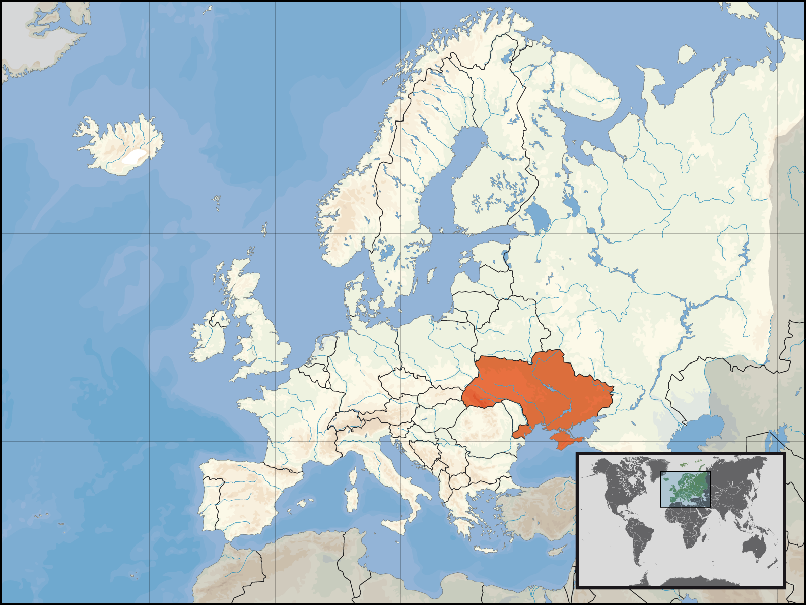
| 30. septembra 2006, 14:33 |  | 1.600x1.200 (112 kB) | David Liuzzo | {{Information| |Description={{de|Lage der Republik Ukraine in Europa<BR>Stand: September 2006}} |Source= Own Work |Date= 30.09.2006 |Author= David Liuzzo |Permission={{self2|GFDL|Cc-by-sa-2.0-de}} |other_versions= }} [[Category:Maps |
Datajowe wužywanje
Žedne boki njewótkazuju na toś tu dataju.
Globalne wužywanje datajow
Slědujuce druge wikije wužywaju toś ten wobraz:
- Wužywanje na ar.wikipedia.org
- Wužywanje na bat-smg.wikipedia.org
- Wužywanje na de.wiktionary.org
- Wužywanje na en.wikipedia.org
- Wužywanje na fr.wikinews.org
- Wužywanje na incubator.wikimedia.org
- Wužywanje na kv.wikipedia.org
- Wužywanje na mg.wikipedia.org
- Wužywanje na ml.wikipedia.org
- Wužywanje na ms.wikipedia.org
- Wužywanje na mwl.wikipedia.org
- Wužywanje na nl.wikipedia.org
- Wužywanje na nl.wikibooks.org
- Wužywanje na nn.wikipedia.org
- Wužywanje na no.wikipedia.org
- Wužywanje na no.wiktionary.org
- Wužywanje na pl.wikipedia.org
- Wužywanje na pl.wikinews.org
- Wužywanje na pl.wikiquote.org
- Wužywanje na pl.wiktionary.org
- Wužywanje na pms.wikipedia.org
- Wužywanje na ps.wikipedia.org
- Wužywanje na pt.wikipedia.org
- Wužywanje na pt.wiktionary.org
Dalšne globalne wužywanje toś teje dataje pokazaś.